
SENSOR ON
Sensor ON is a robotics team from Romania dedicated to innovation, engineering, and solving real-world challenges through technology. We created StratScan ON, an advanced robotic solution designed to bring smarter, more efficient scanning and exploration capabilities to the field.


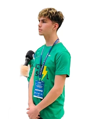
ȘTEFAN PAICI
Programming and electronics
Ștefan writes the MicroPython firmware that runs the survey and wires the sensors that feed it, from the soil probes to the GPS. He also built this dashboard, so the readings leave the robot and reach a screen while the robot is still out on the grid. Ștefan also shapes how Stratascan ON presents itself — the brand, the business model, and the case for why any of this matters.

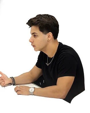
DARIUS CÎMPIAN
Mechanics design
Darius designs and builds everything that moves — the chassis, the drivetrain, and the rack-and-pinion tower that drives the probe into the ground. He led the shift from LEGO beams to a 3D-printed structure, and rebuilt the insertion mechanism five times until the depth came out the same in every cell.

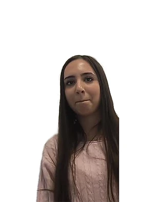
ANISIA ȘANDRU
Research
Anisia owns the science and the story: the soil calibration protocol, the measurement dataset, and the contact with the archaeologists who tell us when we are wrong.

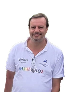
MARIUS LUMPAN
Coach and coordinator
Marius coaches the team and runs Inventika Place, the club where Stratascan ON was built. He opens the doors — to archaeologists, to excavation sites, and to the partners who fund the work — and then gets out of the way.
STRATASCAN ON
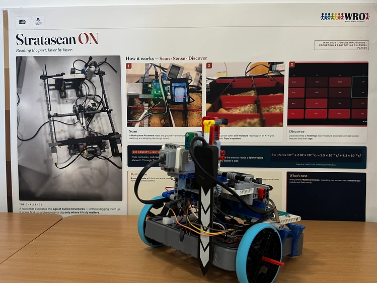
StrataScan ON is an autonomous robot developed by the Sensor ON team at Inventika Place, Bucharest, to support archaeologists in identifying buried structures without the need for excavation. The idea starts from an important problem in archaeology: excavations are costly, time-consuming, and irreversible. Once a layer of soil is removed, the stratigraphic information is lost. In addition, archaeologists may spend long periods opening trenches that ultimately turn out to be empty.
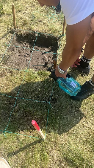
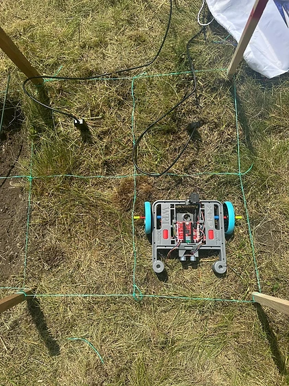
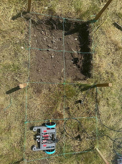
The proposed solution is to use soil moisture and drying rate to identify underground anomalies. Soil compacted above a buried structure retains and releases water differently from the surrounding soil. The robot moves autonomously on a grid, inserts a probe into the soil, applies a controlled amount of water, and measures moisture at predefined intervals. The data is combined with soil temperature, atmospheric conditions, and GPS position, and the results are transmitted to an application that generates a map of the surveyed area.
The project went through five iterations, each addressing a specific problem: sensor contact pressure, insertion depth, scan automation, rigidity and terrain perception, and finally, limitations of the electronic platform. The current version uses the SparkFun XRP with an RP2350, MicroPython, GPS, IMU, encoders, moisture, temperature, and pressure sensors, a HuskyLens for obstacle detection, and a rack-and-pinion insertion mechanism.
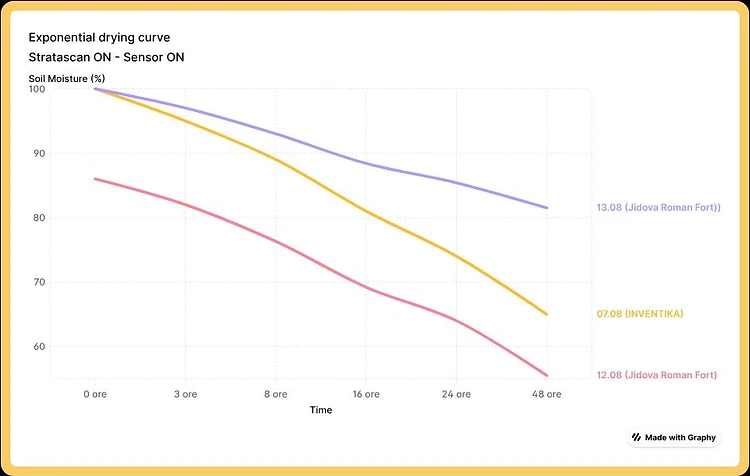
To determine soil behavior, the robot converts permittivity measurements into volumetric water content using the Topp equation and then tracks the drying curve. From this curve, it calculates the time constant τ, which represents how quickly the soil dries. The team’s hypothesis is that older and more compacted soil will have a higher τ value. However, the report clearly emphasizes that τ cannot yet be converted into an exact age because the team currently has only three calibration points.
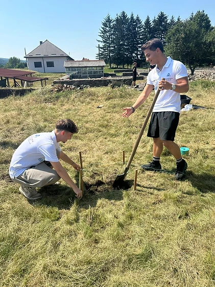
The robot was field-tested at Jidava, a Roman fort, in August 2026, together with archaeologists from the “Vasile Pârvan” Institute of Archaeology. Areas with known structures were analyzed, including buildings approximately 100 years old and Roman walls dated to AD 300–358, as well as an area in Bucharest known to be empty. The results followed the expected trend: the area without a structure was the least compacted, the more recent structure was in the middle, while the area containing the Roman wall showed the slowest drying rate. However, because the three locations have different soil types, the results are considered promising but not definitive evidence.
An important component is the StrataScan ON application, which allows real-time monitoring of the robot via Bluetooth directly from a browser. It displays telemetry, a map with geolocated measurements, keeps a history of scanning sessions, and allows data to be exported as CSV files. Access is protected because a public map of undiscovered archaeological sites could facilitate looting.
The project also has an important social and economic component. The main beneficiaries are county museums, rural archaeological sites, and rescue archaeology teams, which often do not have access to expensive geophysical equipment. A prototype costs approximately $1,050, while the team estimates a cost of approximately €620 per unit at a production volume of 50 units. The proposed business model starts with scanning as a service at €400/day, followed by robot sales at approximately €1,850 and, eventually, a software subscription of €25/month per institution.
At present, the team considers StrataScan ON a functional prototype rather than a commercial product. The essential next step is to complete the robot and conduct a blind test at a rural archaeological site where the team does not know the locations of the structures in advance. Archaeologists will then verify how accurate the predictions were. After that, the team plans to expand the calibration dataset using more sites with structures of known ages.
In short, StrataScan ON aims to shift the archaeological process from “dig and see what you find” to “scan first and dig only where there is evidence.” The project does not yet claim that it can accurately determine the age of a structure. Instead, it demonstrates an affordable, non-invasive method that could help archaeologists decide where excavation is most worthwhile.







Project Report
WRO2026 Project Report — 23 pages
Want to work with us?
Get in touch — we'd love to hear from you.
Contact us